
Topographic Survey & Contour Mapping
Topographic Survey & Contour Mapping
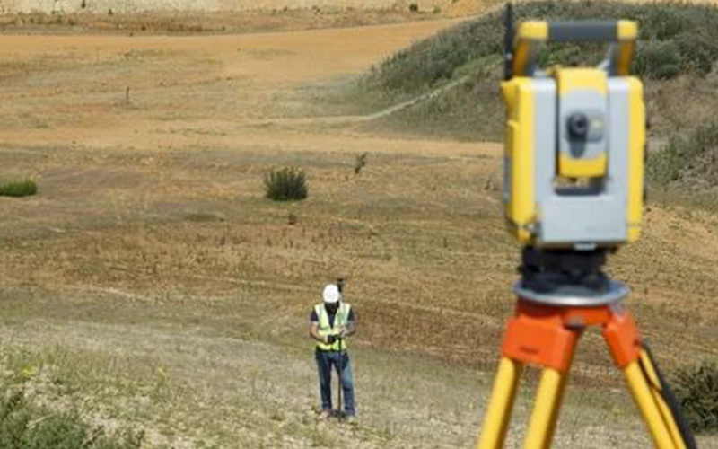
We provide accurate and detailed Topographic Survey & Contour Mapping services to support infrastructure development, construction planning, land development, and engineering projects. Our surveys capture natural and man-made features with high precision, helping clients make informed and data-driven decisions.
Using advanced drone technology, DGPS systems, and total station equipment, we ensure reliable elevation data and precise terrain modeling for projects of all sizes.
What is a Topographic Survey?
A Topographic Survey measures and maps the physical features of land, including:
- Ground Elevations
- Natural Terrain Features
- Roads & Pathways
- Buildings & Structures
- Utilities & Drainage Lines
- Vegetation & Boundaries
Our Key Deliverables
- Detailed Topographic Maps
- Contour Maps (Custom Interval)
- Digital Elevation Model (DEM)
- 2D & 3D Terrain Models
- AutoCAD & GIS Compatible Files
- Survey Reports with Accuracy Details
Why Choose Our Topographic Survey & Contour Mapping?
- High-Accuracy Data Collection
- Advanced Drone & DGPS Integration
- Fast Turnaround Time
- Suitable for Small to Large-Scale Projects
- Compliance with Engineering Standards