DGPS Survey & Ground Control Point Establishment
DGPS Survey & Ground Control Point (GCP) Establishment
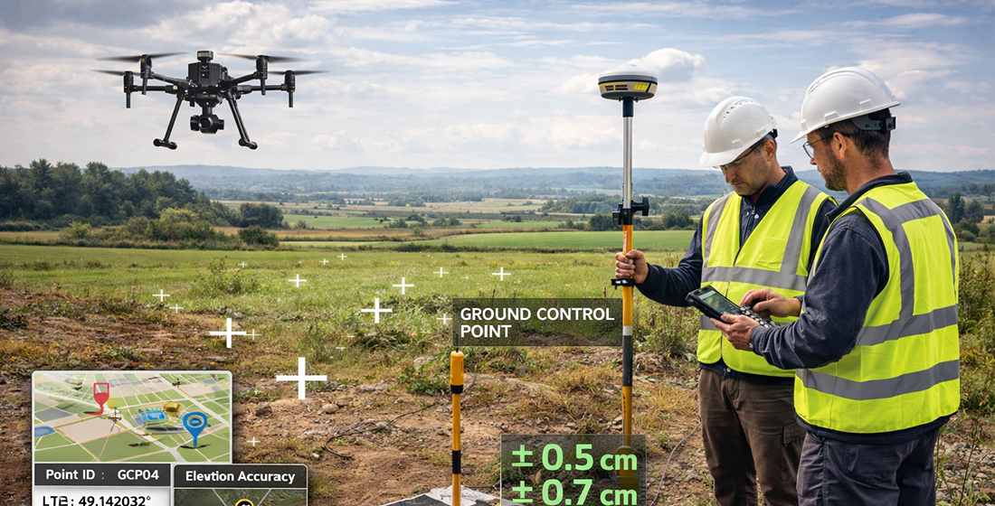
We provide high-precision DGPS Survey & Ground Control Point (GCP) Establishment services to ensure accurate geospatial positioning for drone surveys, land mapping, infrastructure planning, and engineering projects.
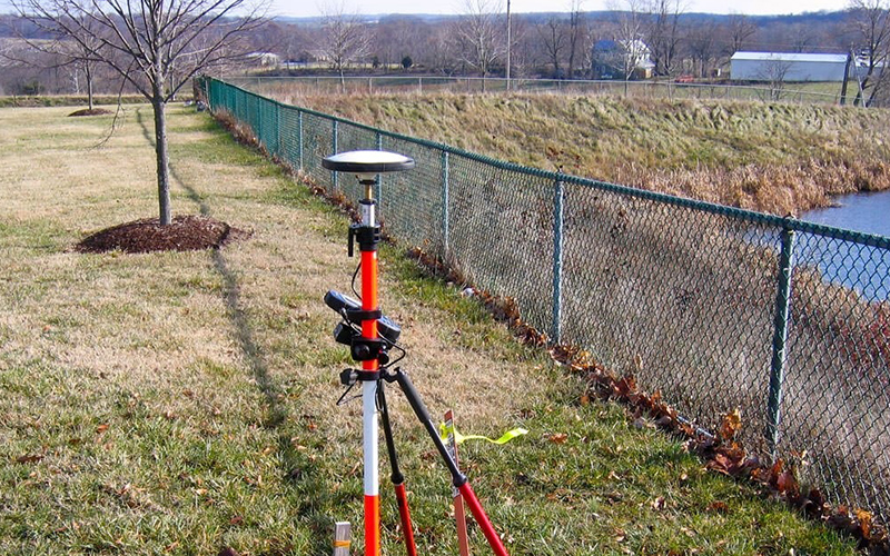
Using advanced Differential GPS (DGPS) technology, we establish permanent and temporary control points with centimeter-level accuracy, ensuring reliable data alignment and mapping precision.
What is DGPS Survey?
DGPS (Differential Global Positioning System) enhances standard GPS accuracy by using a fixed base station and rover system to correct positional errors. This process significantly improves horizontal and vertical accuracy, making it ideal for:
- Drone Survey Accuracy Enhancement
- Topographic & Boundary Surveys
- Road & Highway Projects
- Infrastructure & Construction Planning
- Mining & Large Land Parcels
Our Key Deliverables
- DGPS Control Point Data
- Ground Control Point Coordinates
- AutoCAD & GIS Compatible Files
- Survey Reports & Accuracy Documentation
- Benchmark & Reference Point Setup
Why Choose Our DGPS Services?
- Centimeter-Level Accuracy
- Experienced Survey Professionals
- Advanced GNSS Equipment
- Fast & Reliable Field Execution
- Suitable for Government & Private Projects