Mining & Minor Mineral Survey
Mining & Minor Mineral Survey
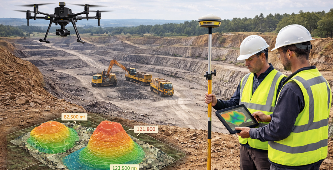
We provide specialized Mining & Minor Mineral Survey services using advanced drone technology, DGPS systems, and high-precision mapping tools to support mining operations, lease management, and regulatory compliance.
Our surveys deliver accurate spatial data for planning, monitoring, and reporting—helping mining operators optimize extraction, maintain safety standards, and meet government regulations.
Our Mining Survey Services Include
- Lease Area Survey & Boundary Demarcation
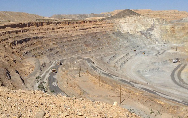
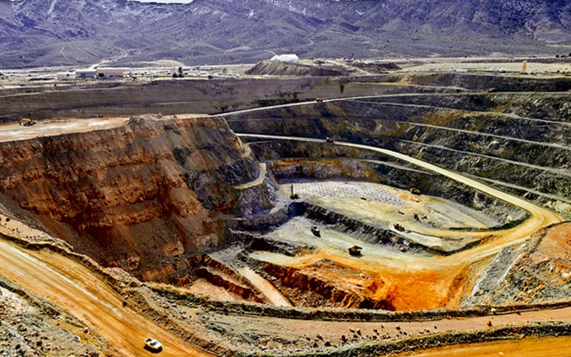
- Pit & Quarry Mapping
- Stockpile Measurement & Volume Calculation
- Overburden Analysis
- Excavation Progress Monitoring
- Haul Road & Infrastructure Mapping
- Environmental & Compliance Mapping
Our Key Deliverables
- High-Resolution Orthomosaic Maps
- Contour Maps & Topographic Data
- Digital Elevation Model (DEM)
- Volume & Stockpile Calculation Reports
- AutoCAD & GIS Compatible Files
- Compliance & Documentation Reports
Why Choose Our Mining Survey Services?
- Centimeter-Level Accuracy
- Fast Survey of Large & Hazardous Areas
- Reduced Manual Survey Risk
- Accurate Volume & Production Estimation
- Government Regulation Compliance Support