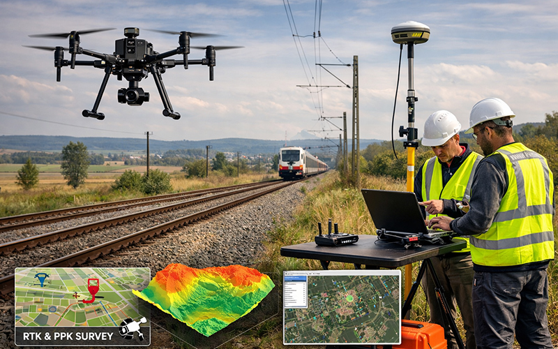
Drone Survey & Mapping
Drone Survey & Mapping (RTK / PPK Based)
We provide high-precision Drone Survey & Mapping solutions using advanced RTK (Real-Time Kinematic) and PPK (Post-Processed Kinematic) technology to deliver centimeter-level accuracy for critical projects.
Our drone-based survey system ensures fast data collection, reduced field time, and highly reliable geospatial outputs suitable for infrastructure, construction, mining, real estate, and government projects.
What is RTK & PPK?
- RTK (Real-Time Kinematic): Provides real-time correction data during flight, enabling instant high-accuracy positioning.
- PPK (Post-Processed Kinematic): Allows data correction after flight for enhanced accuracy and reliability in complex terrains.
Our Key Deliverables
- High-Resolution Orthomosaic Maps
- 2D & 3D Topographic Maps
- Digital Elevation Model (DEM)
- Digital Surface Model (DSM)
- Contour Mapping
- Volume Calculations
- CAD & GIS Compatible Files
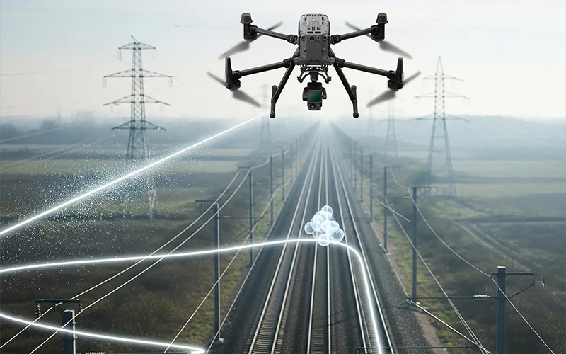
Why Choose Our RTK / PPK Drone Survey?
- Centimeter-Level Accuracy
- Faster Project Completion
- Reduced Ground Control Points (GCP) Requirement
- Cost-Effective Survey Solution
- Suitable for Large & Difficult Terrain Areas