Construction & Infrastructure Survey
Construction & Infrastructure Survey
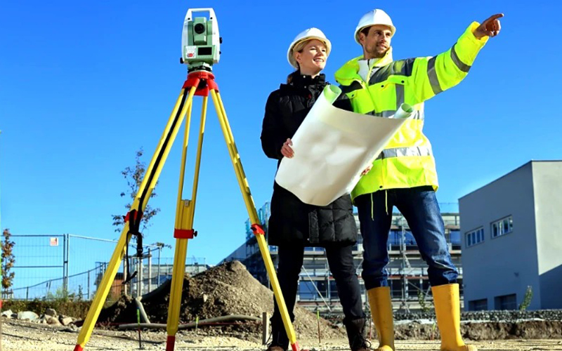
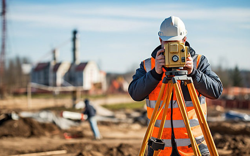
We provide high-precision Construction & Infrastructure Survey services using advanced drone technology, DGPS systems, and modern geospatial tools to support planning, execution, and monitoring of projects at every stage.
Our survey solutions help engineers, contractors, and developers make accurate decisions, reduce risks, and ensure timely project completion.
Our Construction Survey Services Include
- Pre-Construction Site Survey
- Layout & Alignment Verification
- Topographic & Contour Mapping
- Road & Highway Survey
- Bridge & Flyover Monitoring
- Pipeline & Utility Corridor Mapping
Our Key Deliverables
- High-Resolution Orthomosaic Maps
- Digital Elevation Model (DEM)
- 2D & 3D Site Models
- Volume & Quantity Reports
- AutoCAD & GIS Compatible Files
- Detailed Survey Documentation
Why Choose Our Survey Solutions?
- Centimeter-Level Accuracy
- Faster Data Collection
- Reduced Manual Errors
- Safe Survey of Large & Complex Sites
- Real-Time Project Monitoring