Solar Industry & Transmission Line Survey
Solar Industry & Transmission Line Survey
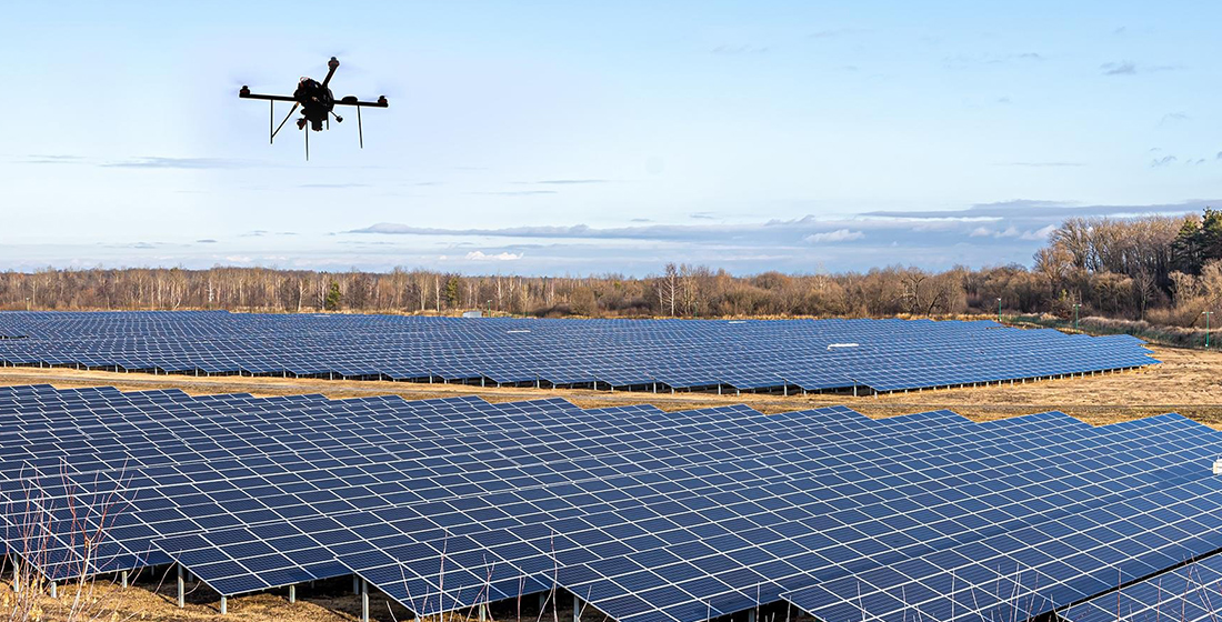
We provide specialized Solar Industry & Transmission Line Survey services using advanced drone technology, DGPS systems, and high-precision geospatial mapping tools. Our solutions support renewable energy projects and power infrastructure development with accurate, fast, and reliable data.
From site feasibility to project execution and monitoring, we help energy developers make informed decisions with confidence.
Solar Industry Survey Services
- Site Feasibility & Land Assessment
- Topographic & Contour Mapping
- Shadow Analysis Support Data
- Solar Plant Layout Planning
- Panel Placement Optimization
- Earthwork & Grading Analysis

Our Key Deliverables
- High-Resolution Orthomosaic Maps
- Digital Elevation Model (DEM)
- Contour Maps
- Alignment & Corridor Maps
- AutoCAD & GIS Compatible Files
- Volume & Earthwork Reports
Why Choose Our Services?
- High-Accuracy DGPS Integrated Surveys
- Faster Data Collection for Large Areas
- Reduced Field Manpower
- Cost-Effective & Time-Efficient
- Suitable for Government & Private Energy Projects