Smart City & Utility Mapping
Smart City & Utility Mapping
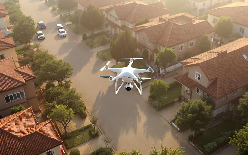
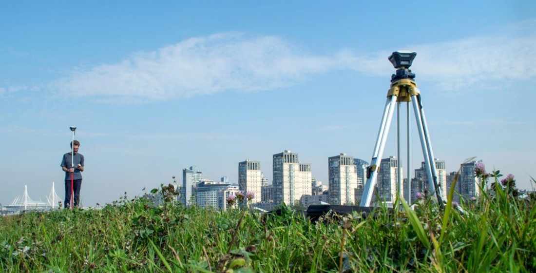
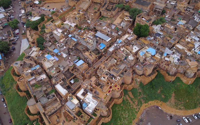
We provide advanced Smart City & Utility Mapping solutions using high-precision drone surveys, DGPS technology, and GIS-based data processing to support modern urban planning and infrastructure management.
Our mapping services help government bodies, urban planners, and infrastructure developers create accurate, data-driven city models for efficient development and long-term sustainability.
Smart City Mapping Services
- High-Resolution Base Mapping
- 2D & 3D City Modeling
- Road & Infrastructure Mapping
- Drainage & Stormwater Mapping
- Urban Planning & Layout Design Support
- Asset Mapping & Geo-Tagging
Utility Mapping Services
- Water Supply Networks
- Sewerage & Drainage Systems
- Electrical Distribution Line
- Gas Pipelines
- Telecom & Fiber Networks
Why Choose Our Services?
- Centimeter-Level Accuracy
- Integrated DGPS & Drone Technology
- Faster Large-Area Coverage
- Improved Urban Planning Efficiency
- Government Project Compliance Support